We develop innovative software solutions for traffic and infrastructure systems.

We develop advanced specialized applications and software solutions for processing traffic and field data, and for supporting planning, decision-making, and system management.

What We Do

Traffic Flow Analysis

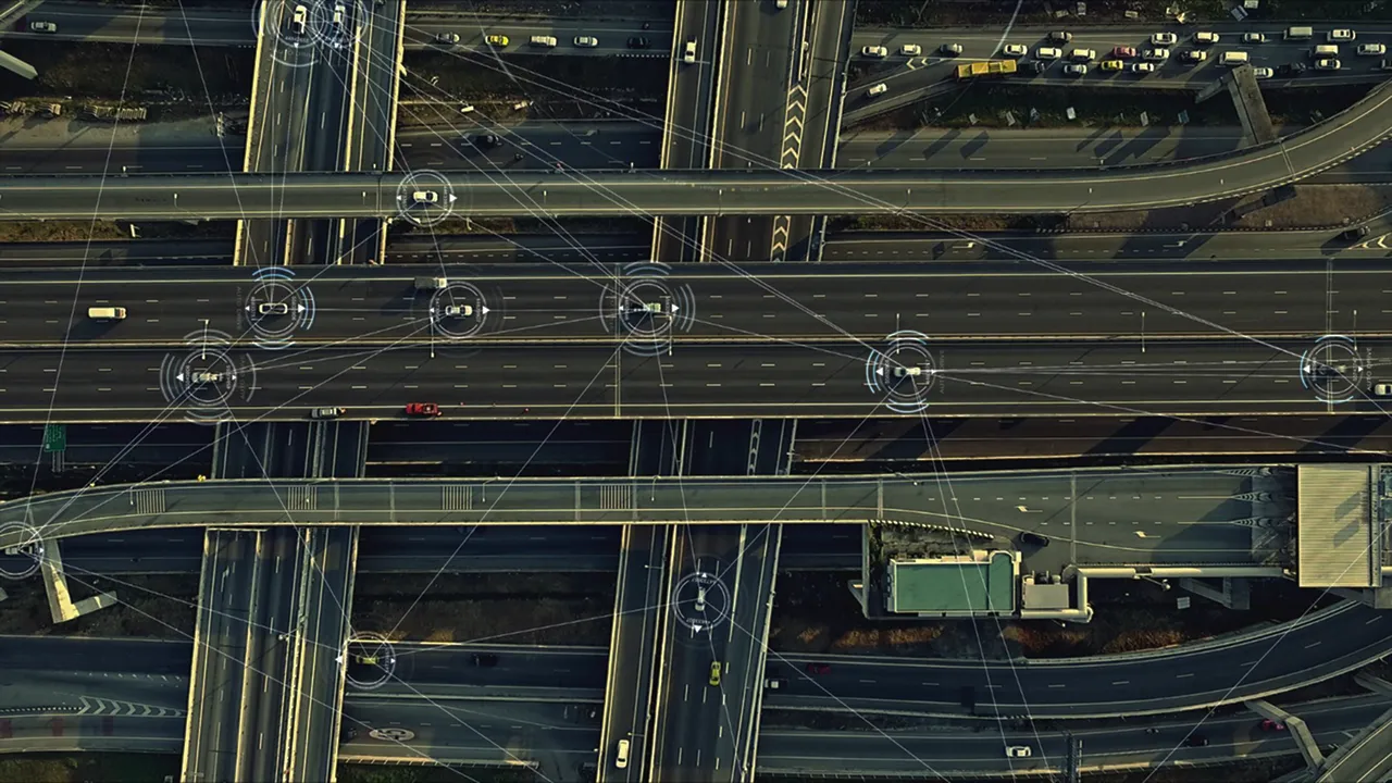
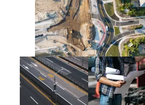
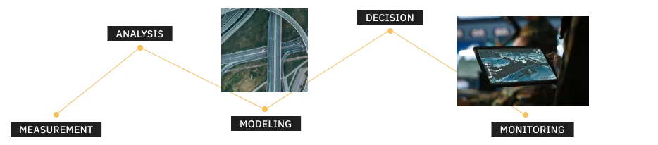
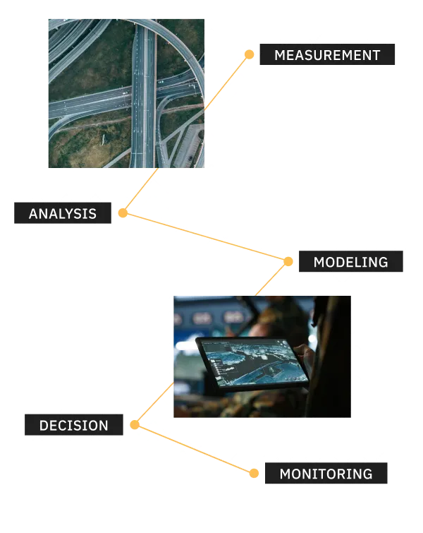
We conduct a detailed analysis of the movement of vehicles and other road users over time. We identify bottlenecks, conflict points, pre-crash situations, road network loads, human factors, and real usage patterns that often deviate from theoretical capacities and design assumptions.

Field Data Processing

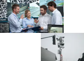
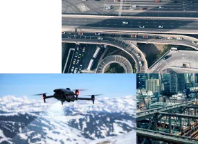
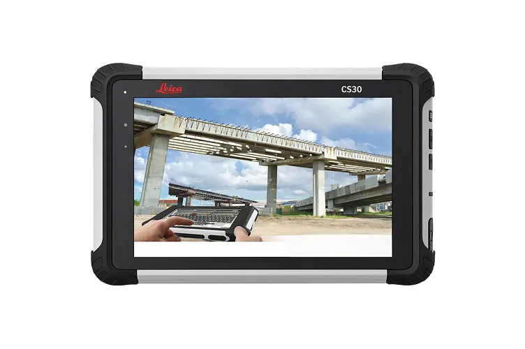
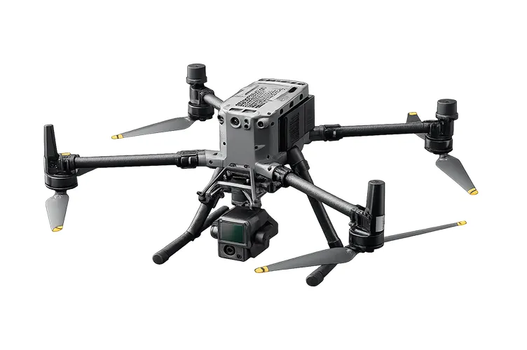
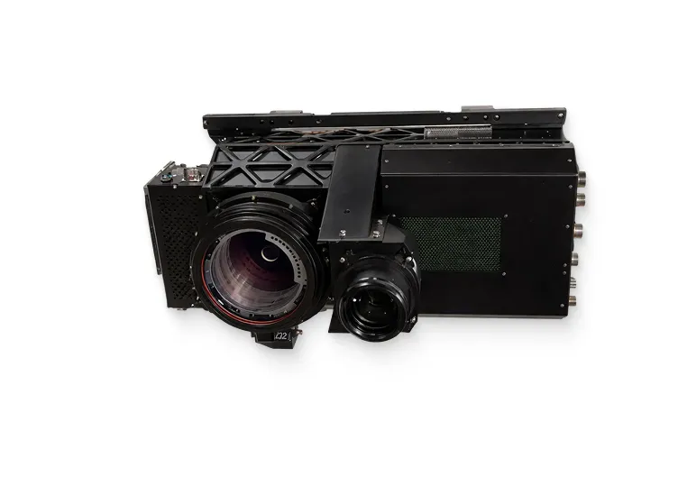
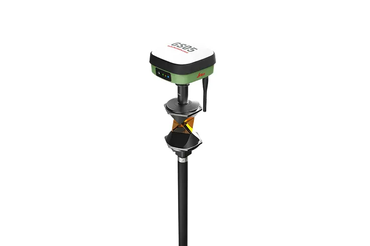
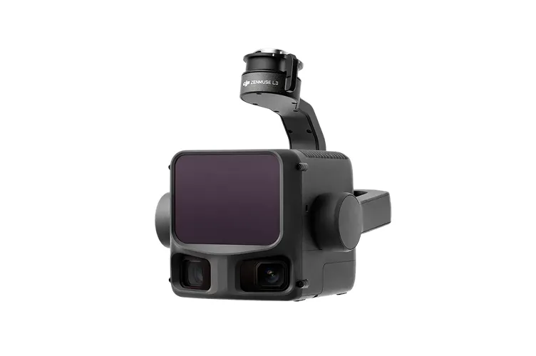
Using LiDAR, we capture detailed 3D road environments, including intersections and key elements. Drones provide aerial insights into traffic flows and space usage, while cameras and mobile mapping systems deliver high-quality data for analysis, mapping, and further processing.

Multi-Source Data Integration

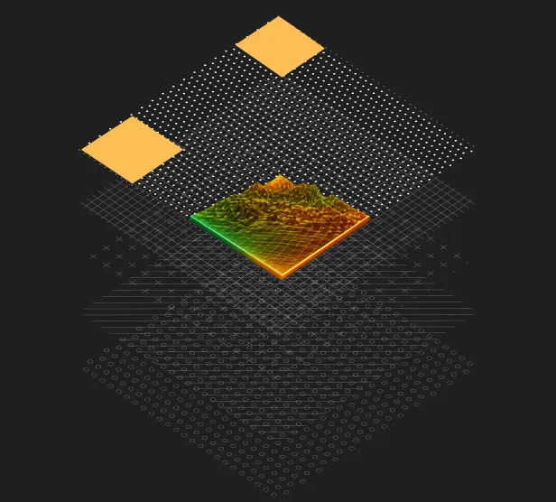
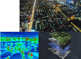
Integrating data from multiple sources is essential for understanding complex traffic situations. By combining field measurements, sensors, video, spatial data, and existing systems, we achieve a comprehensive view that enables multi-perspective analysis, cross-validation, and more reliable conclusions.

Custom Software Development

 In developing solutions, we focus directly on writing code and building custom systems. We do not use generic platforms. Each solution is designed as a tailor-made system for a specific problem, adapted to the client’s processes, data, and mode of use.

Clear Technical Outputs

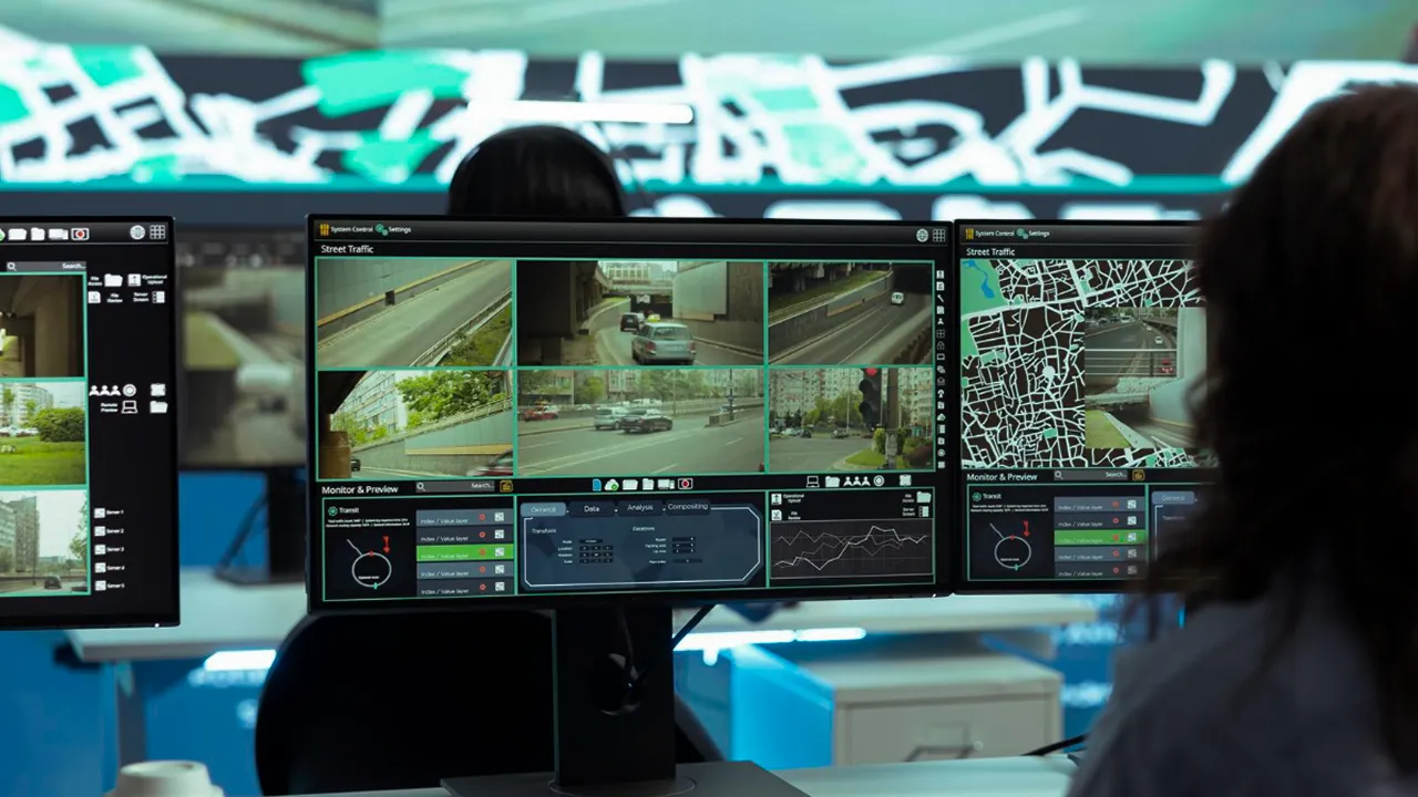
We deliver easy-to-use applications that handle large data volumes. Interfaces are clear and interactive, information is well structured, and results are easy to understand. Across reports, tasks, and projects, we ensure content remains logical, readable, well organized, and accessible to non-technical users.

Targeted Analytical Tools

For specific infrastructure challenges, we develop targeted analytical tools. These enable simulations, scenario comparisons, and a deeper understanding of the impacts of interventions.

Infrastructure Planning & Optimization

 In planning traffic and mobility solutions, we also work on site and in real-world conditions. We follow projects during implementation and after completion. We are interested in how solutions actually perform in real environments, whether they achieve the expected effects, and where adjustments or optimizations are needed.

Long-Term Infrastructure Monitoring

We develop systems for long-term infrastructure monitoring, focusing not only on short-term effects but on performance over time. By tracking trends locally and internationally, we continuously update our programs, applications, and systems to deliver durable, adaptable, and sustainable strategic solutions.

How We Work

We work in a project-based and
engineering-driven manner.

Technologies

We use modern technologies for collecting, processing, and integrating data from the real world, including:

Field

On-Site Data

We perform dedicated field measurements using purpose-built procedures adapted to terrain, traffic conditions, and operational constraints.
Vision

Visual Data

We process and analyze video and image data to extract movement patterns, infrastructure details, and spatial relationships.
LiDAR

Spatial Modeling

We use LiDAR technology for high-precision spatial analysis, 3D infrastructure modeling, and detailed representation of the built environment.
Sensors

Time-Based Data

We integrate sensor-based and time-dependent data from multiple sources to capture dynamics, trends, and temporal variations.
Analytics

Decision Support

We apply advanced data analytics and decision-support algorithms to evaluate scenarios, compare alternatives, and support informed decisions.
MongoDB
Java
TypeScript
Python
REST
WebSockets
C/C++
Cesium
OpenLayers
Kubernetes
Linux
PostgreSQL
GeoJSON
Javascript
Next.js
FastAPI
Redis
React
Why Us

A structured, engineering-led approach to complex technical challenges.

ENGINEERING FIRST
REAL-WORLD CONDITIONS
CUSTOM SOLUTIONS
SYSTEMs THINKING
RELIABLE DELIVERY
MULTIDISCIPLINARY
“From the beginning, the focus was never on quick solutions, but on engineering clarity. Data begins in the field, not in assumptions. Field reality beats office theory. That is why we measure the terrain, not assumptions, and why every system we design starts with verified, structured input. Beyond dashboards and surface-level visualisations, our goal is to build coherent engineering systems that connect data, technology, and practical application into long-term decision infrastructure. Measure twice. Model once.”
— Senior Engineering Lead
Infrastructure & Systems Projects
CONTACT

Let us know if you are facing a specific technical or infrastructure challenge.

We respond with a clear and focused engineering approach.
Email
Phone
linkedin

Contact

Reach out to us
We’ll get back to you as soon as possible
Phone
+386 68 127 015
Email
info@data2point.si
LinkedIn
LinkedIn